Space Based Imagery Along with Real World Action


Observa unites a high-performance Earth observation capability with a single environment to search, order, task, process, analyze, and deliver insights, powered by AI workflows and supported by enterprise-grade security and governance.
Get in Touch
Get in Touch
PRODUCT OVERVIEW
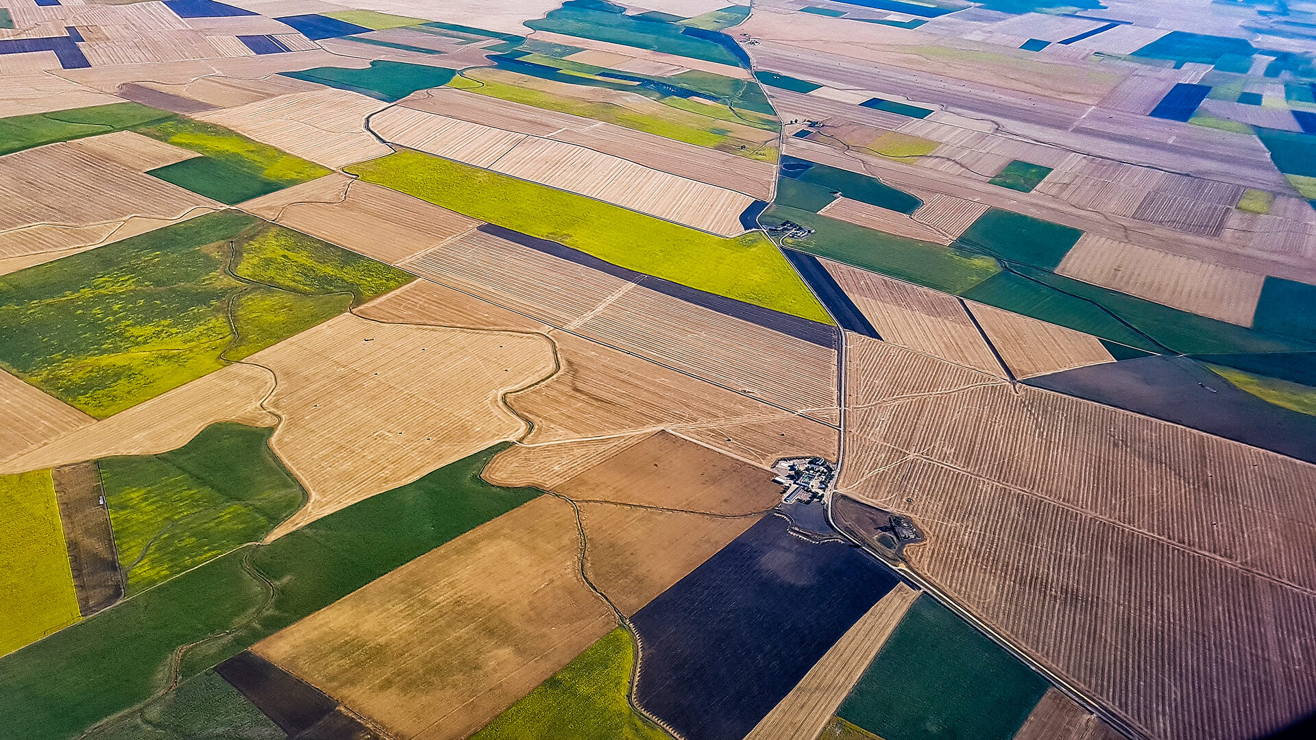
Earth Observation Plus Actionable Intelligence
Observa brings together an Earth observation constellation, a high-performance imaging capability, and an AI-enabled processing pipeline to support sustainable development, critical infrastructure monitoring, climate intelligence, and national security missions.
To turn imagery into actionable outcomes, Observa Space Data Intelligence applies AI-driven workflows, detection, segmentation, classification, anomaly analysis, across multispectral, hyperspectral, thermal, SAR, and auxiliary datasets, supported by scalable architecture where accuracy matters.
OBSERVA SERVICES PORTFOLIO
End-to-End Services from Imagery to Intelligence
Observa is delivered as a modular product suite, satellites for image capture, and intelligence workflows that convert imagery into decision-ready outputs. Each component works independently, or as a fully integrated end-to-end Observa stack.
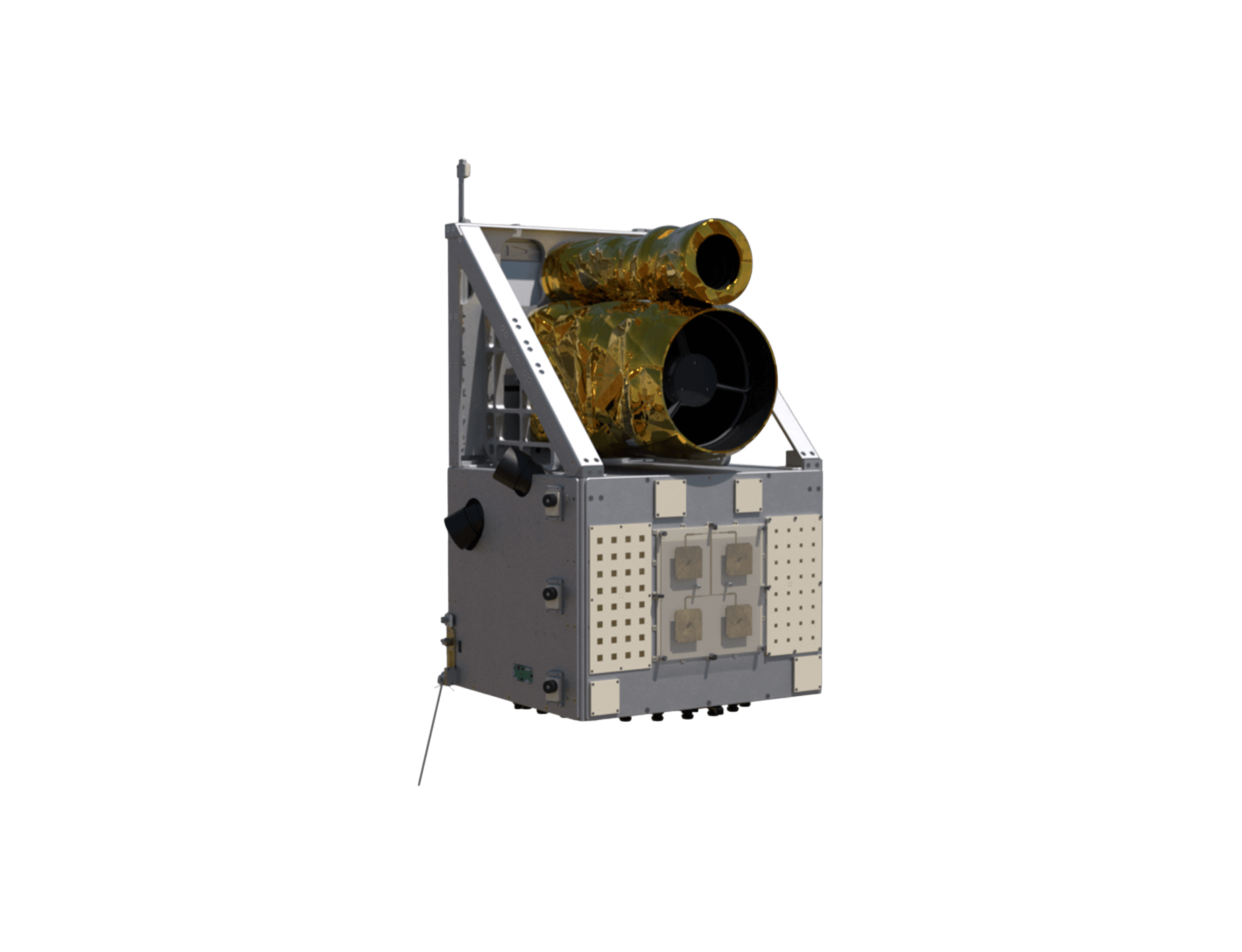
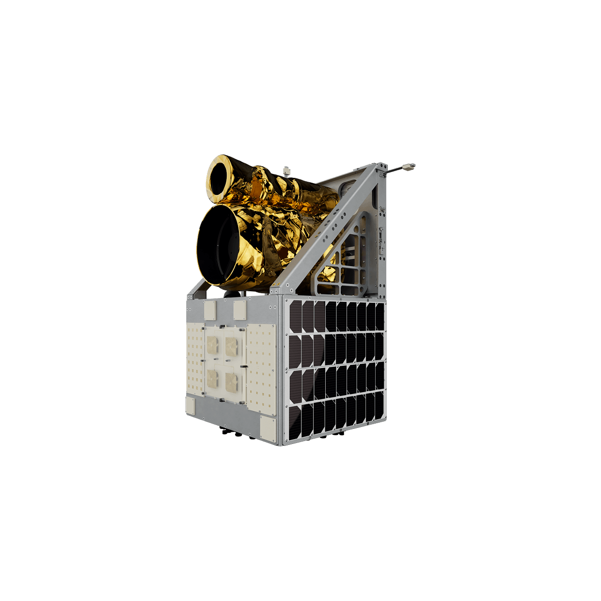
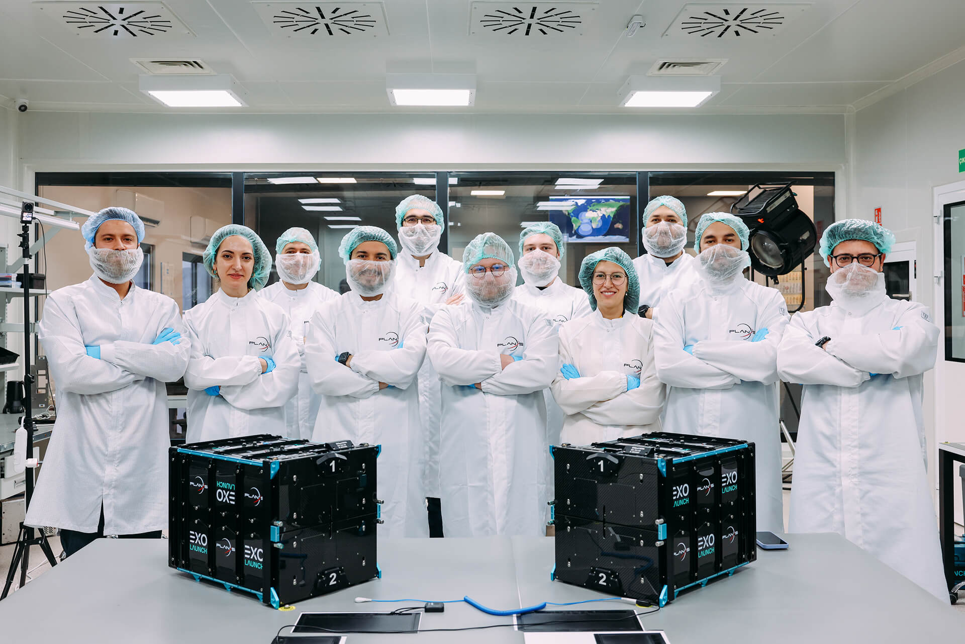
Observa Constellation
Observa constellation combines high-resolution optical, multispectral, and thermal imaging with onboard edge-AI to deliver secure, analysis-ready intelligence for critical missions worldwide.
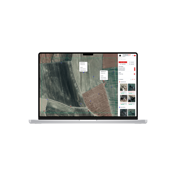
Space Data Analytics
Space Data Analytics streamline image-to-insight workflows, combining secure processing, repeatable metrics, and scalable delivery to support mission planning, compliance, and impact measurement.
INDUSTRIES WE SERVE
Driving insights across industries, Observa is shaping intelligence from Earth.


GET IN TOUCH
From Monitoring to Momentum
Observa is designed to move Earth intelligence from occasional reporting to continuous operational advantage. Define a target area, a monitoring objective, and an update cadence, then run the full loop in one environment: tasking and scheduling, standardized data handling, AI-driven analytics, and delivery through dashboards, alerts, reports, or exports into existing systems.
Get in Touch