Every Journey. Every Asset. One Source of Truth.


Highways, rail lines, ports, yards, trucks, containers, machines, your network is in constant motion. Plan-S brings them onto the same map, blending satellite intelligence from Observa with global IoT connectivity from Connecta IoT Network so you always know where things are, what shape they’re in, and what’s changing around them.
Get in Touch
Get in Touch
THE CHALLENGE
Your Network Moves as One. Your Data Doesn’t.
Supply chains and transport networks may appear orderly on paper, but real world operations tell a different story.
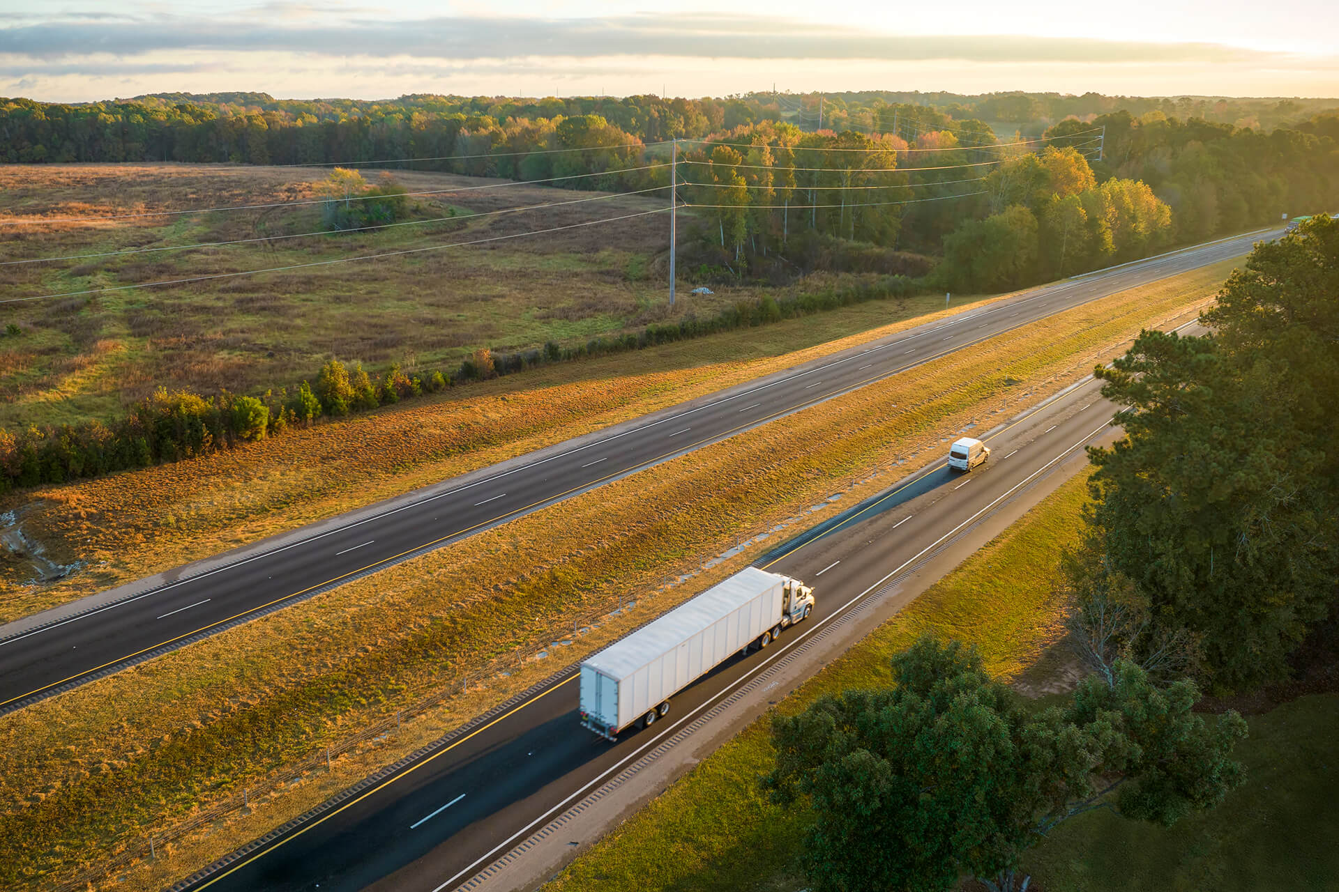
Road surfaces deteriorate, rail lines shift, and junctions clog long before issues are detected. Trucks, containers, and equipment frequently move through regions with no cellular coverage, creating blind spots that break chain of custody visibility. Many organizations still depend on periodic inspections and delayed reports, learning about disruptions only after they’ve occurred.
This leads to reactive operations, guesswork in maintenance, and gradual erosion of margins. What’s needed is a scalable, continuously updated view that shows what’s happening across every route, terminal, and moving asset, not just during occasional checks.
THE INSIGHTS
Why “Good Enough” Visibility Is No Longer Enough
Customers expect accurate ETAs, regulators demand traceability, and investors want resilient operations, yet traffic growth, climate volatility, and ageing infrastructure make this harder every year. Organizations relying only on basic GPS or periodic inspections inevitably fall behind.
Leading operators now monitor roads, railways, and corridors with multi-modal satellite imagery and keep fleets connected beyond cellular coverage with satellite IoT tracking. By unifying route conditions and asset movement into one shared view, they gain a clearer, faster understanding of how their networks perform. When infrastructure and assets are monitored in isolation, critical opportunities are lost.
THE SOLUTIONS
See Networks. Track Assets. Orchestrate
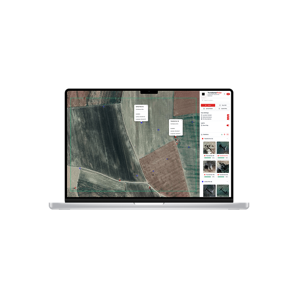
Plan-S brings Observa and the Connecta IoT Network together on a common foundation. The result is a Transportation & Asset Management layer where routes, assets, and hubs show up in the same live operational picture.
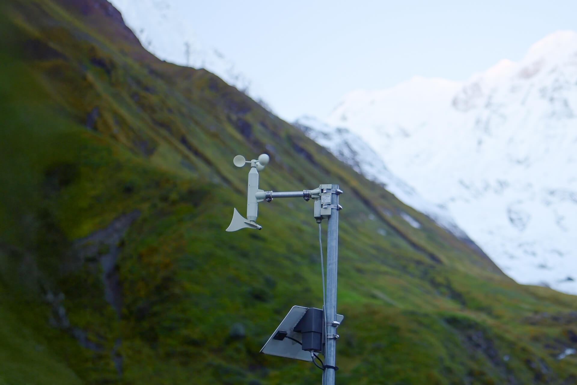
IoT Connectivity
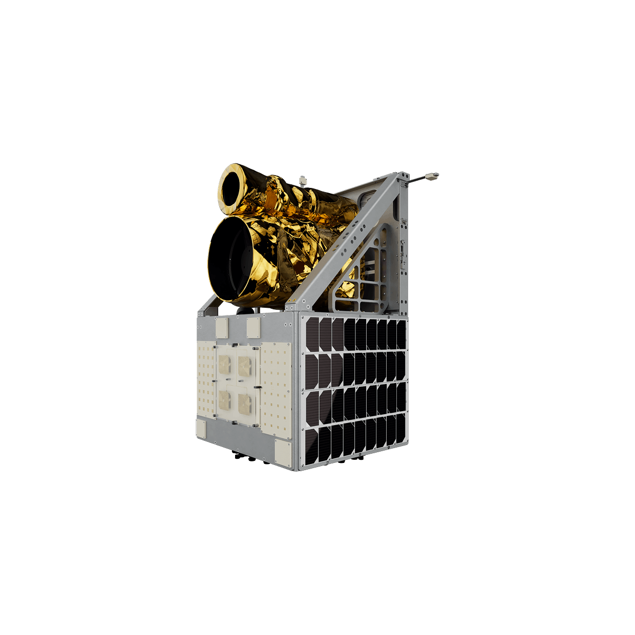
Asset tracking breaks down the moment equipment leaves cellular coverage. The Connecta IoT Network fills those gaps by linking trucks, trailers, containers, vessels, and mobile equipment directly to satellites through LoRaWAN® modem keeping them visible across borders, remote corridors, and open water.
Beyond location, Connecta IoT Network carries status, hours, cold-chain data, and critical events, all through rugged, low-power devices built for multi-year autonomy.
Explore Solution
Observation & Insights
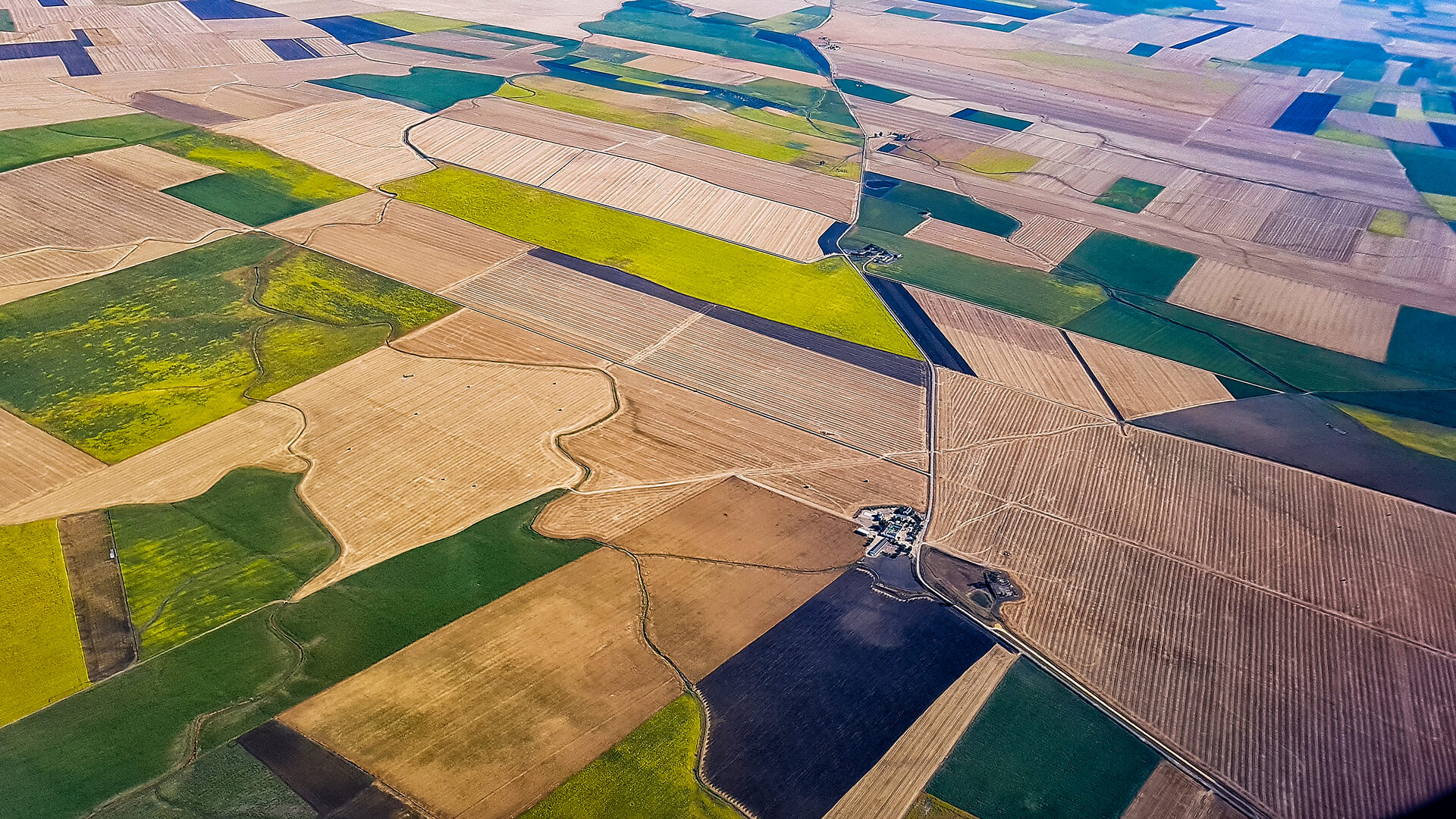
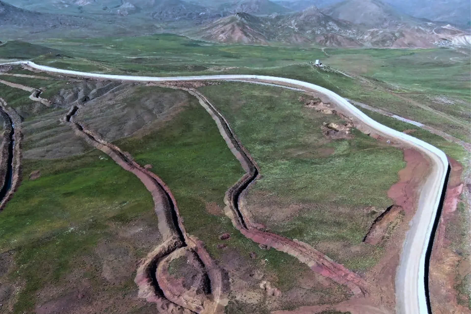
Observa’s multi-modal satellite imaging provides an operational X-ray of roads, rail corridors, and logistics hubs. Surface degradation, rail deformation, and vegetation risks are detected early and turned into actionable insights.
Explore Solution
USE CASES
Proven Applications
There isn’t a different picture for each part of your network, there is one network that every team must see clearly. A unified view turns that clarity into real operational impact
Connecta keeps vessels visible beyond coastal coverage, logging positions and key events when terrestrial networks fade, so control rooms stay informed and incidents are handled faster.
INDUSTRIES WE SERVE
Turning Space Technology into Industry Value
Industries face unique challenges, from energy efficiency to agricultural yields and financial risk. Connecta and Observa turn these into solutions with satellite IoT and Earth Observation, transforming space data into actions that create value on Earth.
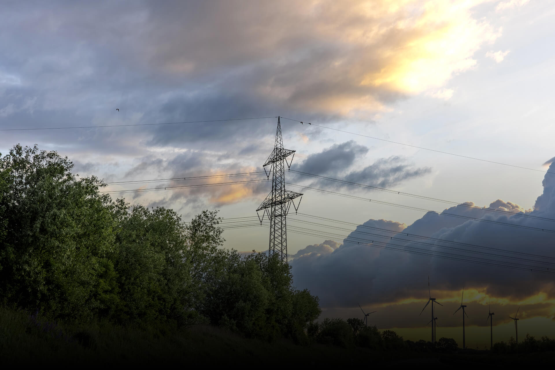
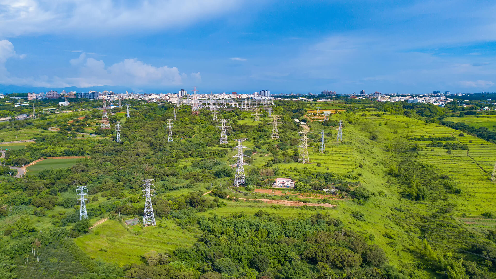
Energy
Continuous visibility across meters, tanks, lines, and corridors improves loss control, targets inspections, strengthens safety oversight, and keeps delivery more reliable.


GET IN TOUCH
Stop Managing Blind Spots. Start Orchestrating the Network
Transportation and asset management is no longer just A to B. It’s end-to-end visibility. Observa maps the infrastructure below, while Connecta unifies moving assets in a live operational view, eliminating blind spots, enabling traceability, and improving performance and safety.
Get in Touch